Water mask
The Water mask tool is used to identify and mask out water in a layer when you do not want to consider areas under water in your analysis.
Usage
- Use the single slider to select the frequency of scenes for which a pixel marked as water must have water in it. A low value, such as 10, will reveal many pixels marked as water, compared to a higher value, such as 90.
Tip
The Water mask tool uses a method that describes the frequency of water occurrence on a land surface from the period of 1984 to 2015. A value of 0 corresponds to surfaces that are never under water, while a value of 100 corresponds to surfaces that are always under water. To create your own water mask based on different dataset(s) or methods, use the Raster calculator tool.
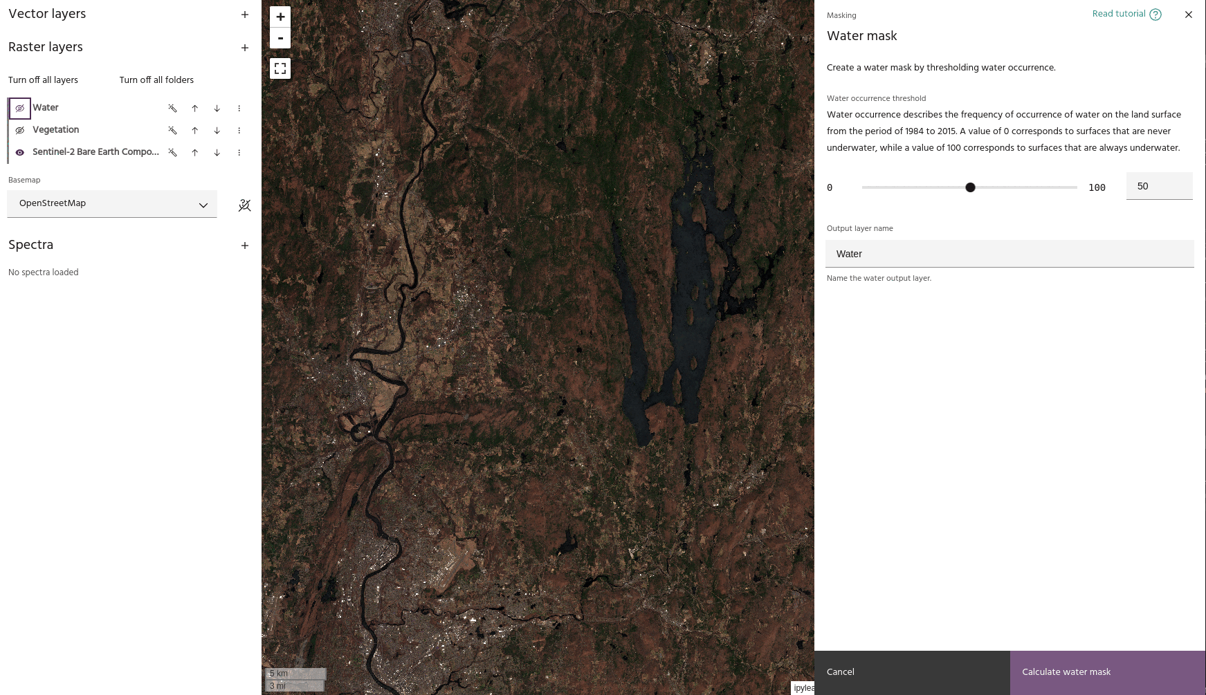
- When you set a value that you like, click the Calculate water mask button to save your water mask in the Raster layers dropdown menu. The mask will now be available to apply to a layer using the Apply a mask tool.
Tip
Using the settings dialog of a mask layer, you can hide low values to show only the areas identified as water.