Vector layers
Marigold supports adding and displaying a wide variety of vector layers. Add layers to your maps and configure your layer settings using the Vector layers section on the left side panel. Marigold will display layers "top down," meaning that layers at the top of the list will appear above layers underneath.
Add vector layers
Vector layers can be added to the project from several sources:
Layer properties
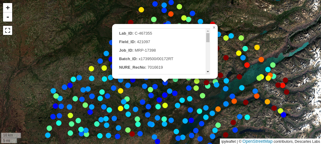
Vector layers that have properties associated with features will show the properties in a popup window when clicking on a feature. This feature can be toggled on and off, and will be toggled off by default.
Note
Property popups are not available for Vector tile layers with Point geometries.
Basic layer configuration
Similar to raster layers, vector layers can be configured from the layer's row in the list.
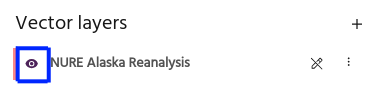
Toggle visibility
Use the eye icon to toggle layer visibility on and off.
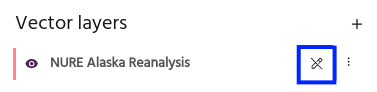
Toggle drawing
Use the draw toggle to modify the layer by drawing.
More configuration options
More advanced configuration options are available from the overflow menu in the layer's row.
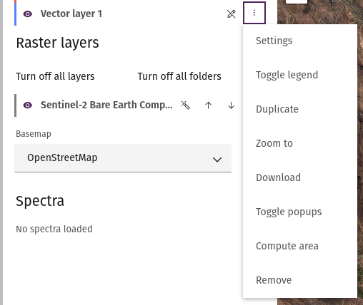
Settings
Detailed layer settings can be accessed from the layer settings menu.
Toggle legend
If the vector layer is colored by a property, this option will toggle a legend for the layer.
Duplicate
Add a copy of the layer to the map.
Zoom to
Zooms the map to the layer's location.
Download
Download the vector layer as a geojson.
Note
Vector tile layers will be downloaded over the current map view.
Toggle popups
Toggle property popups when clicking the layer on and off.
Compute area
Use this option to show the area of Polygon layers.
Remove
Select Remove to remove a layer from the Marigold project.
Warning
Layers that have been removed from the project will need to be added or created again!