Valley Bottom Flatness
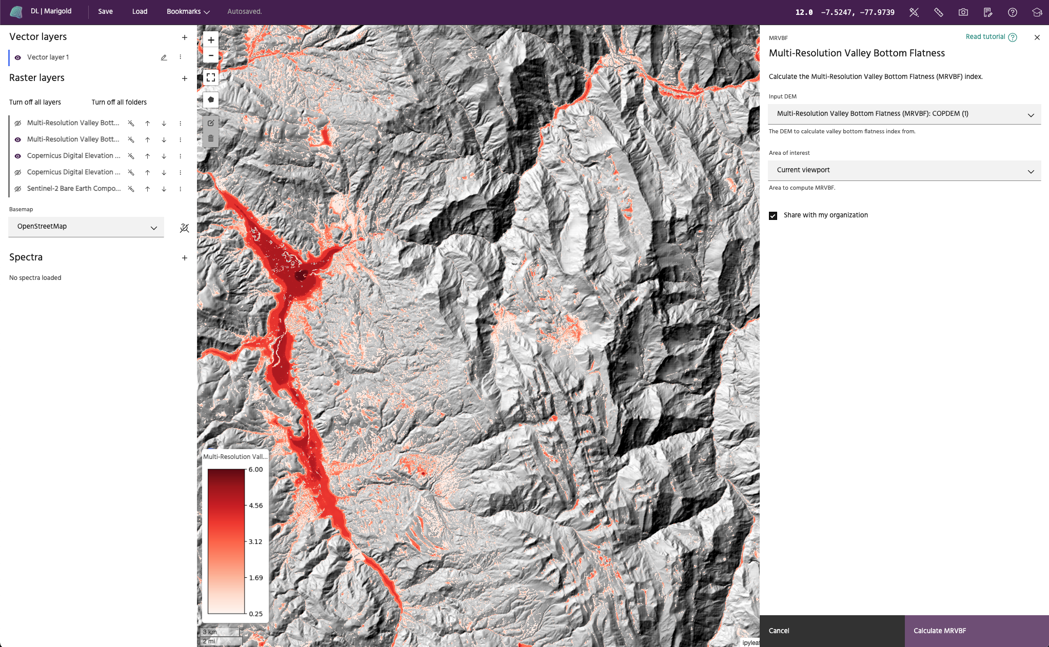
The Multi-Resolution Valley Bottom Flatness (MRVBF) index (Gallant and Dowling, 2003) assesses the flatness and lowness of terrain over multiple scales and DEM resolutions in order to identify valley bottoms. This index classifies degrees of valley bottom flatness, which may be related to depth of deposit. The index can also be used to identify groundwater constrictions and to delineate hydrologic and geomorphic units.
The algorithm uses transfer functions for the terrain slope and elevation percentile to obtain a normalized value from 0-1. These normalized values are then used to compute the valley flatness for each resolution step, with the DEM resolution coarsening by a factor of 3 between each step. The final MRVBF index is a cumulative index from all resolution steps.
Warning
Valley Bottom Flatness requires access to Compute.
Note
MRVBF values < 0.5 do not generally represent valley bottoms, values from 0.5 to 1.5 represent the steepest resolvable valley bottoms, and flatter/larger valley bottoms are represented by values > 1.5. The implemented algorithm uses 6 steps, giving a maximum index value of 6.0.
Complementary Ridge Top Flatness Index
A multi-resolution ridge top flatness index (MRRTF) is a separate index derived in a very similar manner, except that the upper parts of the landscape are identified from PCTL. For most pixels, either the MRVBF or MRRTF is less than 0.5, identifying that location as a ridge top or valley bottom. If both indices are < 0.5, it is a hillslope. Areas where MRVBF and MRRTF overlap are somewhat ambiguous, but the dominant character, ridge-like or valley-like, can be inferred from the index with the larger value.
Note
The Ridge top flatness index is automatically calculated as a second band within the MRVBF algorithm and added to the resulting catalog product. It is not automatically added to the map.
Usage
The Valley bottom flatness dialog allows you to choose the elevation model from
the current raster layers to use as input data.
The elevation model must have either an 'elevation' or 'altitude' band. Select
Run MRVBF to create the output in the raster list. A compute job will be
kicked off to run the algorithm and the resulting layer will be added to the
map upon completion.
Note
The input DEM will be resampled to a 30 meter resolution, regardless of the native resolution of the DEM.