What is Marigold?
Marigold is a geographic information system (GIS) user interface that is built on top of the EarthOne platform and tailored to exploration geologists. By simplifying the access and analysis of remote sensing data, Marigold transforms mineral exploration workflows.
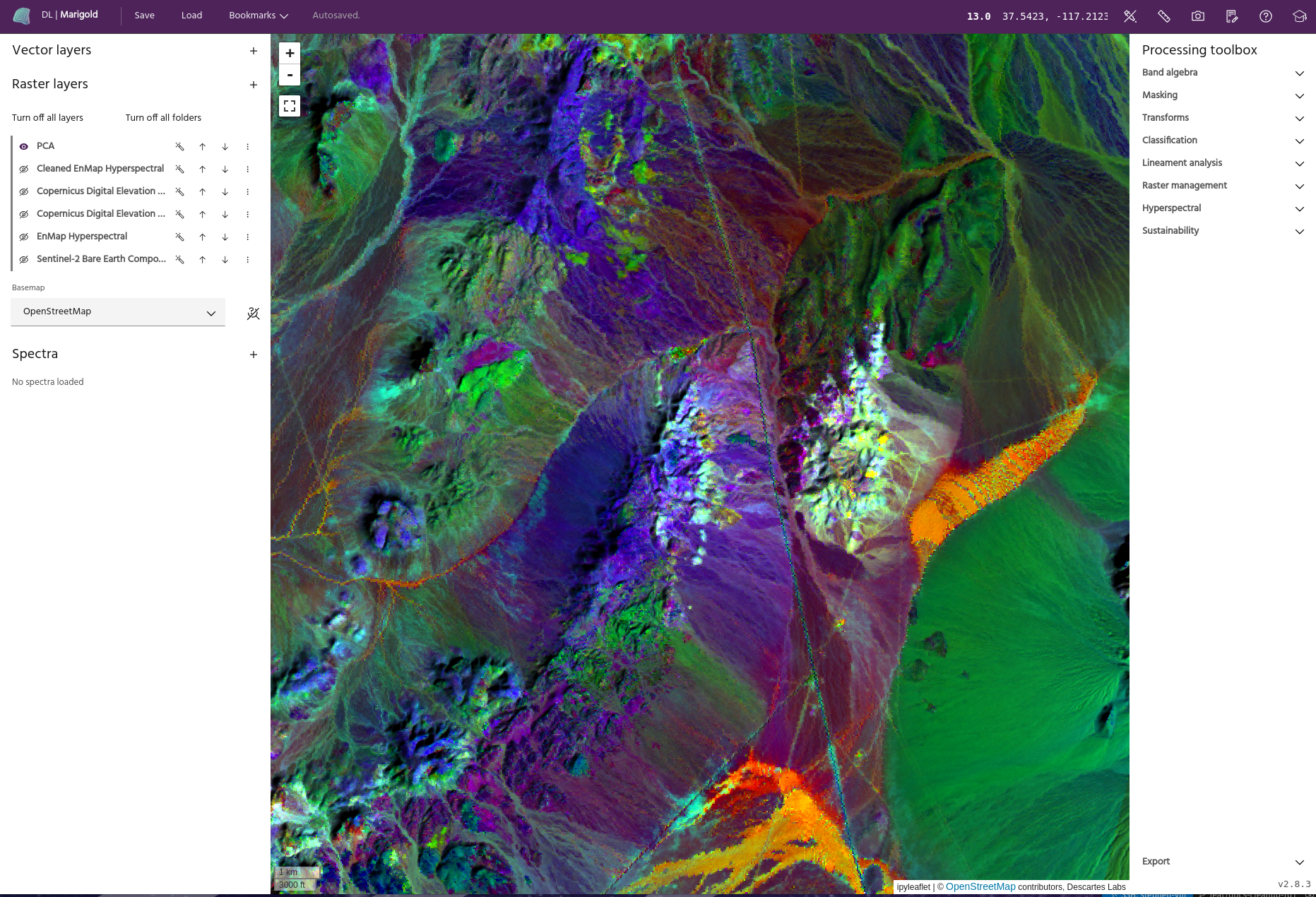
Working with Marigold
Marigold simplifies your mineral exploration workflows, so you can hit the ground running with geospatial data --- no coding necessary.
Fast
The EarthDaily Advanced Mineral Exploration package reduces prep time for mineral exploration by up to 85%. Marigold further improves your workflows by making it easier to analyze data and share projects with colleagues.
Streamlined
All the tools you need are all in a single, easy to use interface. No more switching between applications or working with complex bits of code.
Global
Our Bare Earth Composite gives users access to the clearest pixel everywhere on Earth. Work with analysis-ready data to derive insights from the smallest to the largest scale.
Getting started with Marigold
New to remote sensing?
If you're new to the world of satellite imagery, learn how remotely sensed data provides valuable insights we can't capture on the ground.
Looking to jump in?
Hit the ground running by accessing Marigold, adding new layers and mineral targets, and running a spectral similarity algorithm to identify potentially prospective areas.
Ready to keep learning?
Follow along in some of our case studies to learn how to spot different types of mineralization from start to finish.