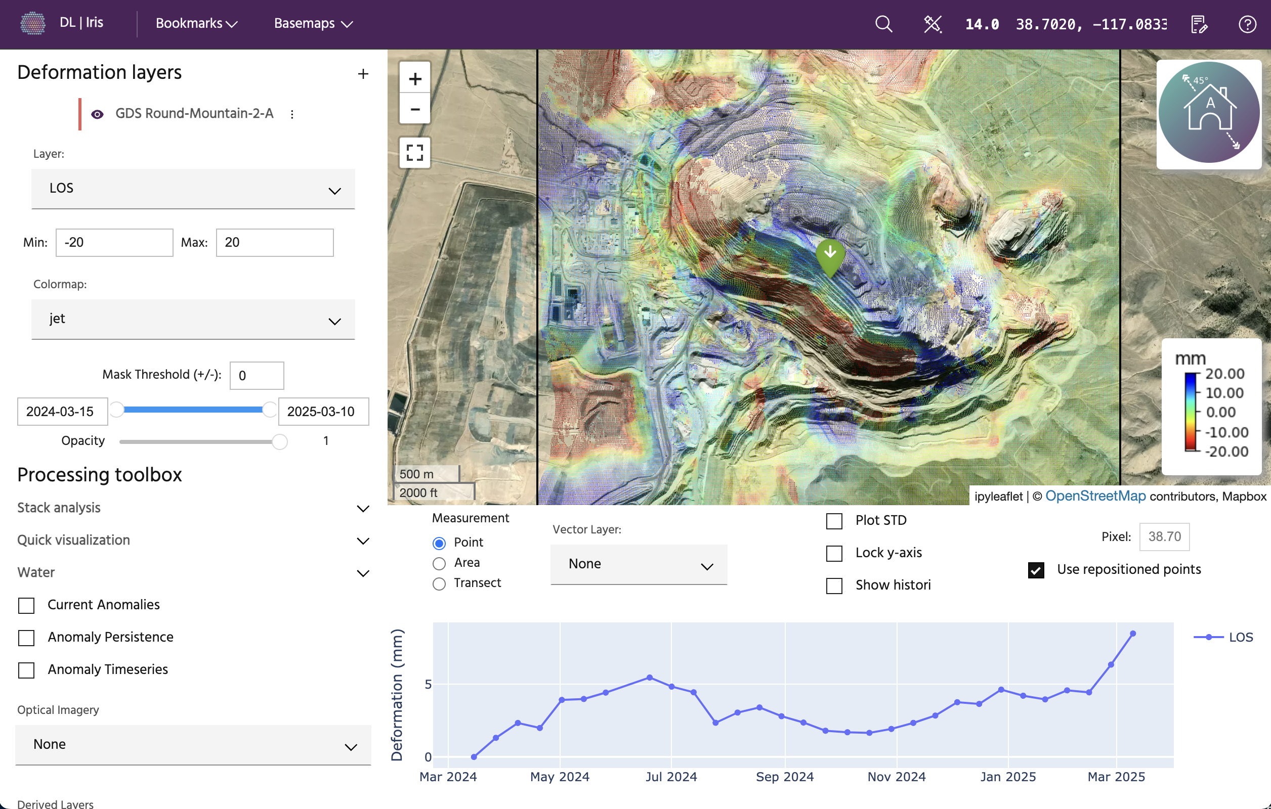
What is Iris?
At the core of Iris lies the innovative use of Interferometric Synthetic Aperture Radar (InSAR) technology. This groundbreaking technology transcends geographical boundaries to monitor assets consistently and comprehensively.
With its seamless integration of cutting-edge technology, Iris is an indispensable tool for proactive risk management, precise decision-making, and the preservation of critical assets.

Working with Iris
Iris allows you to quickly and interactively access deformation over assets of interest, allowing you to make quick decisions regarding the stability and health of infrastructure and terrain.
Fast
Iris utilizes data created in our state-of-the-art InSAR pipeline, the only automated commercial InSAR pipeline, allowing speedy delivery and the ability to scale to monitor hundreds of sites very quickly.
Streamlined
All the tools you need are all in a single, easy to use interface. No more switching between applications or working with complex bits of code.
Global
Sentinel-1 global coverage allows users to have continuous monitoring anywhere on the planet, or to run one-off analyses to understand where and when motion may be occurring.
Getting started with Iris
New to InSAR?
If you're new to the world of InSAR, learn about some basics to understand how active-source measurements taken from space can resolve mm-scale ground motions, even when it's cloudy or dark out.
Looking to jump in?
Hit the ground running by accessing Iris, adding a demo or customer analysis, and querying points and areas to discover deformation and anomolous motion.
Ready to keep learning?
Follow along in some of our case studies to see different examples of how motion can be tracked, as well as interpretation tips and caveats.